
Building an Autonomous Drone with Raspberry Pi & Pixhawk
Bridging companion-computer autonomy with Pixhawk flight control over a hardware UART using DroneKit Python, and what the load and GPS tests actually measured.
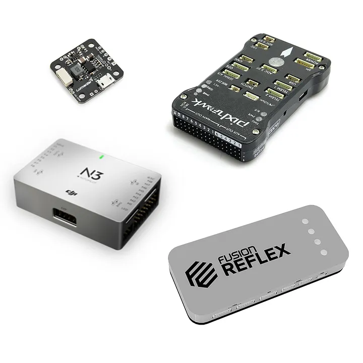
Dividing the work
An autonomous drone is really two computers that must not fight each other:
- Hard real-time stabilization — 400 Hz-IMU attitude corrections, PID loops, ESC commanding. This belongs to the Pixhawk running ArduPilot. Glitches here mean a crash.
- High-level autonomy — computer vision, waypoint generation, sensor recording. This belongs to a Raspberry Pi 4B companion computer, where a Linux environment is worth more than milliseconds.
Everything else in the build is about keeping those two halves honest with each other.
Why a hardware UART — and the wiring
USB adapters are the convenient option, and they're fragile: latency under load and connector creep from vibration. The robust option is a hardware UART between the Pi's GPIO (TX/RX) and the Pixhawk's TELEM2 port — no hub, no driver, just a null-modem serial link.
[Raspberry Pi 4B (GPIO 14 TX · GPIO 15 RX)]
        │            UART @ 57600 baud
        ▼
[Pixhawk TELEM2 (RX · TX · GND)]
57600 baud is the sweet spot for MAVLink telemetry here: plenty of bandwidth for waypoint traffic and heartbeat messages, and a modulus that keeps the link deterministic.
DroneKit: waypoints from Python
With the UART up, the Pi owns the mission. DroneKit + PyMAVLink give the companion computer a plain-Python API over MAVLink:
from dronekit import connect, Command, VehicleMode
from pymavlink import mavutil

vehicle = connect('/dev/ttyS0', baud=57600, wait_ready=True)

def upload_waypoint_mission(waypoints):
    cmds = vehicle.commands
    cmds.clear()
    for wp in waypoints:
        cmds.add(Command(
            0, 0, 0,
            mavutil.mavlink.MAV_FRAME_GLOBAL_RELATIVE_ALT,
            mavutil.mavlink.MAV_CMD_NAV_WAYPOINT,
            0, 0, 0, 0, 0, 0,
            wp['lat'], wp['lon'], wp['alt']
        ))
    cmds.upload()
This is the pattern that makes computer vision missions possible at all: the Pi flies a GPS grid while the Pixhawk absorbs the real-time responsibility, and both sides see the same mission state.
Vibration is a sensor problem
Motor vibration shakes more than the frame. On a camera-carrying drone it produces rolling-shutter artifacts and blur that quietly destroy frame-level detection quality. The fix was a custom 3D-printed vibration-isolated mount that cradles the Pi and its UART wiring — small mechanical detail, large effect on downstream CV accuracy.
Measured results
The drone was tested outdoors (indoors first, then the real thing) with instrumented loads:
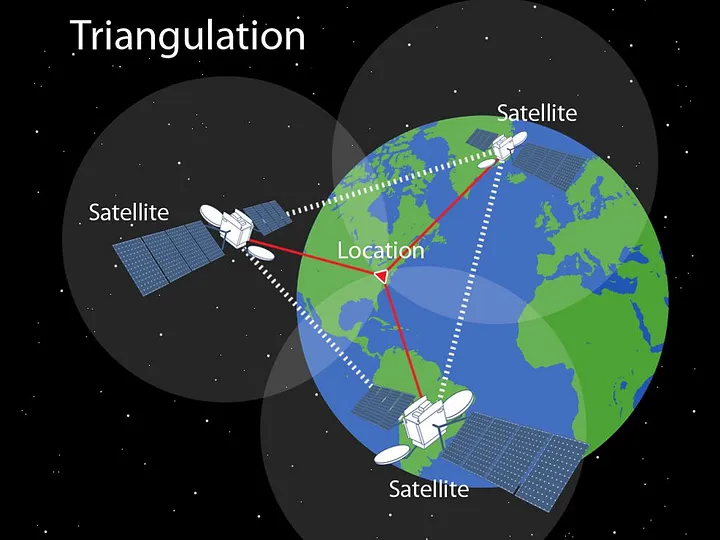
- GPS accuracy — loiter and landing stable to roughly ±1 metre, enough to tag litter coordinates reliably. Cheap GPS is routinely underestimated; for a 'where is the problem' mission it's genuinely sufficient.
- Payload — carried 500 g with zero degradation in attitude stability. Testing was stopped before the actual limit to protect the motors — a decision worth copying: a spec is a promise, and pushing it in field tests is how you burn hardware.
- Platform role — this same F450/Pixhawk/Pi stack became the aerial half of the Autonomous Litter Detection and Recovery System research project.
The recurring theme of the build: nothing about waypoint autonomy is exotic — the minutes go into wiring, mounting, and testing the boring layers, and the exotic part (knowing what to look for) is exactly what the companion computer is for.
Related Project Case Study
Drone Litter Mapping + Recovery System
A full-stack outdoor robotics project: an ArduPilot F450 with a Raspberry-Pi companion flies GPS waypoint surveys, detects litter with YOLOv5 (90% accuracy), syncs camera frames to telemetry, and files every hit into a PostGIS-backed litter map. A ROS2 walking robot built for recovery rounds out the system, documented in a published paper.